
A warning is issued when a hazardous weather or hydrologic event is occuring, imminent or likely. A warning means weather conditions pose a threat to lie or property. People in the path of the storm need to take protective action.
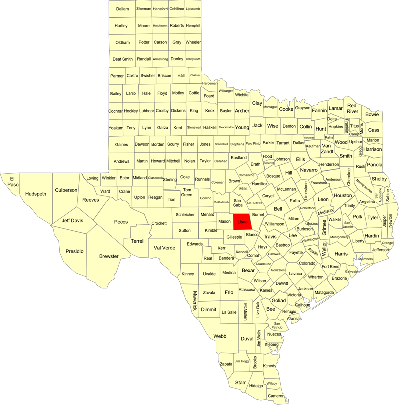
| …The Flood Warning is extended for the following rivers in Texas… Llano River at Llano affecting Llano County. TXC299-140715- /O.EXT.KEWX.FL.W.0027.000000T0000Z-250715T1345Z/ /LLAT2.2.ER.250713T1207Z.250713T1400Z.250715T0145Z.NO/ 813 AM CDT Sun Jul 13 2025 …FLOOD WARNING NOW IN EFFECT UNTIL TUESDAY MORNING… * WHAT…Moderate flooding is occurring and moderate flooding is forecast. * WHERE…Llano River at Llano. * WHEN…Until Tuesday morning. * IMPACTS…At 20.0 feet, Flow will be damaging to docks and boats downstream in Kingsland. The lowest secondary roads and bridges will be severely flooded and dangerous. Near the USGS 1:5 year flood level. * ADDITIONAL DETAILS… – At 8:00 AM CDT Sunday the stage was 16.3 feet. – Bankfull stage is 10.0 feet. – Recent Activity…The maximum river stage in the 24 hours ending at 8:00 AM CDT Sunday was 16.3 feet. – Forecast…The river will oscillate around flood stage with a maximum value of 18.9 feet late this morning. – Flood stage is 10.0 feet. – Flood History…This crest compares to a previous crest of 20.5 feet on 02/04/1992. – http://www.weather.gov/safety/flood Fld Observed Forecasts (8 am CDT) Location Stg Stg Day/Time Mon Tue Wed Llano River Llano 10.0 16.3 Sun 8 am CDT 14.7 7.2 5.3 LAT…LON 3067 9896 3075 9896 3079 9852 3058 9824 3049 9829 3066 9855 |
| For any questions, please contact The Watch by phone at 512-424-2208 or via email at [email protected]. |